Drive Free to use for a limited period.
Newfound Gap Road
- stops
- 28stops
- narration
- ~22 minnarration
- between stops, approx.
- 34.6 kmbetween stops, approx.
Can be saved for offline listening
A 28-stop guided drive · about 22 minutes of narration
Where it starts
Sugarlands Visitor Center — Orientation & Safety
35.6856° N, 83.5366° W
The stops
- Stop 1: Sugarlands Visitor Center — Orientation & Safety
- Stop 2: The Climb Begins — A Forest That Changes With Elevation
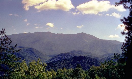
- Stop 3: Campbell Overlook — Mount LeConte
- Stop 4: Chimneys Picnic Area & the Cove Hardwood Forest
- Stop 5: The Chimney Tops Story
- Stop 6: Alum Cave Trailhead (Drive-By)
- Stop 7: Into the Spruce-Fir Forest
- Stop 8: Morton Overlook
- Stop 9: The Final Climb — Switchbacks & Changing Conditions
- Stop 10: Newfound Gap — Arrival at the Pass
- Stop 11: The Rockefeller Memorial
- Stop 12: Why It's Called 'Newfound'
- Stop 13: The Kuwohi Road Junction
- Stop 14: Crossing Into North Carolina
- Stop 15: Charlies Bunion Trailhead (Drive-By)
- Stop 16: Charles A. Webb Overlook
- Stop 17: Following the Oconaluftee
- Stop 18: Wildlife on the Road — Elk
- Stop 19: Approaching Smokemont
- Stop 20: Smokemont — Cherokee Village & the Sacred River
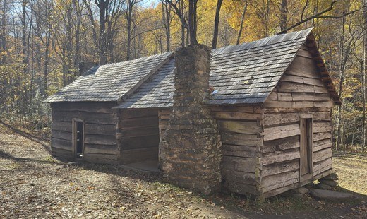
- Stop 21: Smokemont — From Bradleytown to a Logging Boomtown
- Stop 22: Smokemont — The CCC Camp That Rebuilt This Valley
- Stop 23: Smokemont Campground Today
- Stop 24: Mingus Mill — Approach
- Stop 25: Mingus Mill — The Turbine Story
- Stop 26: Nearing Oconaluftee
- Stop 27: Oconaluftee Visitor Center & the Mountain Farm Museum
- Stop 28: Close — The Whole Drive